
Our Services
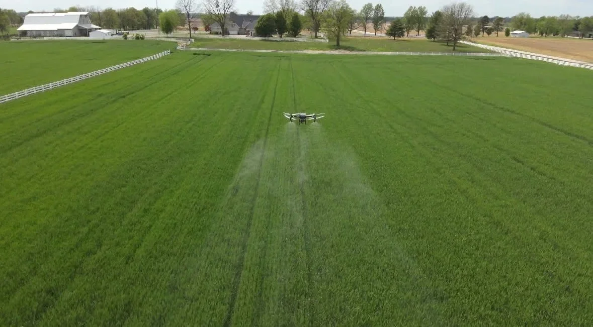
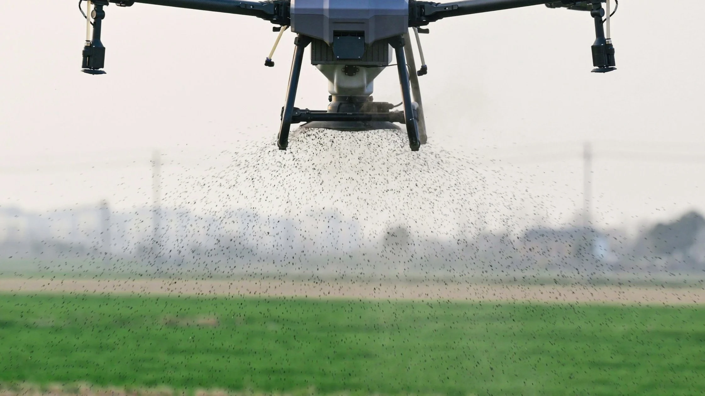
Drone Spraying
Efficient, targeted application of pesticides, herbicides, and fertilizers using GPS-guided routes to maximize efficiency and application effectiveness.
Drone Seeding
High-precision aerial seeding that allows for quick, uniform planting in hard-to-reach or sensitive areas without disturbing the soil.
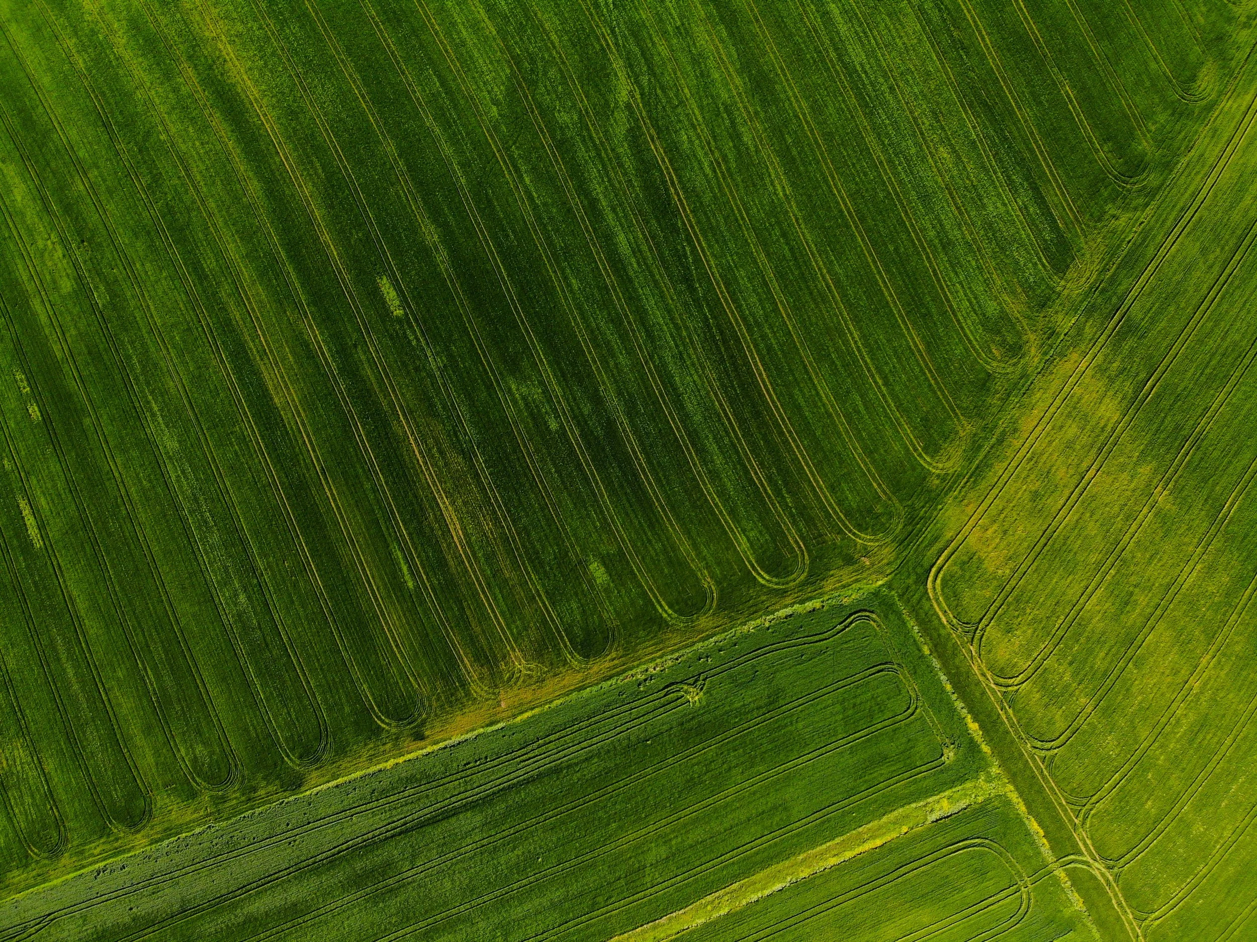
Aerial Crop Imagery
Drone imagery provides real-time insights into crop health. Mapping field boundaries precisely and send directly to JD ops center.
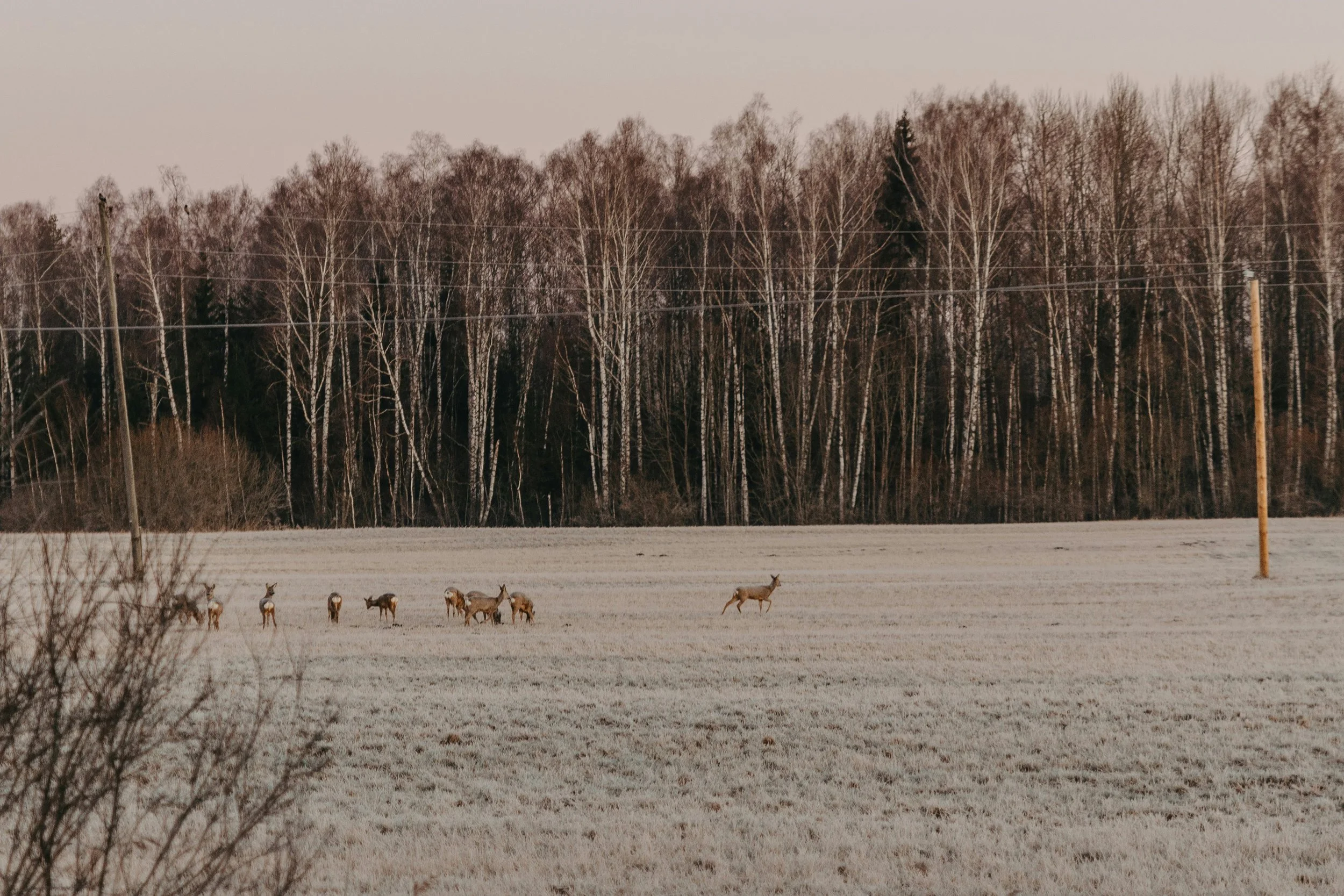
Land and Wildlife Surveys
Advanced thermal imaging can provide herd analysis for hunting properties.
Key Features
-
Using GPS-guided flight paths and smart spraying systems, our drones apply treatments only where needed. This targeted approach minimizes chemical waste and reduces exposure to non-target areas, preserving the surrounding ecosystem.
-
Our drones can cover up to 50 acres per hour (depending on terrain and crop type.) This allows you to respond quickly to outbreaks of pests or disease, improving crop health and yield.
-
No need for heavy machinery —our automated drones fly pre-programmed routes, maintaining consistent height and speed over uneven terrain, sloped fields, or difficult-to-reach areas.
-
Our integrated systems capture vital data during each spraying session, allowing you to track application rates, assess field coverage, and generate reports for compliance or planning purposes.
-
By reducing runoff, overspray, and chemical overuse, drone spraying contributes to sustainable farming practices. Our services help you meet environmental standards while keeping operational costs low.